



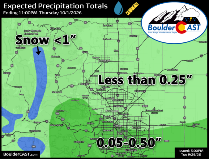
A slow‑moving, high‑stakes storm has been creeping toward Colorado all week — a rare mash‑up of an autumn upper‑low and the juicy tropical remnants of Hurricane Polo — and for a moment, it looked like Boulder and Denver might finally score a true soaking. But as the atmosphere loves to do, the script flipped late. Today’s update breaks down how this once‑promising setup unraveled over the last couple days, why southern Colorado is now squarely in the bullseye, and what scraps of moisture the Front Range can still squeeze out as the system passes by to our south.
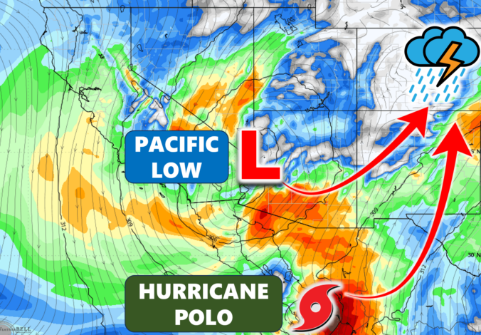
A slow‑building, tropical‑charged system is about to make its move on Colorado — and the setup behind it is far more complex than your typical late‑September storm. As Hurricane Polo’s remnants collide with a impressive Pacific upper‑low, the stage is set for a rare, moisture‑laden system that could deliver anything from a major rain event to a near‑miss for Boulder and Denver. We break down why the models are struggling, what the key track differences mean for your neighborhood, and where flooding and high‑elevation snow may become real concerns as the storm unfolds.
UPDATED Tuesday Sep 26 5:00PM: Updated rainfall forecast map and some wording to account for growing confidence the bulk of the storm will miss the Denver Metro area.
A complicated weather pattern is taking shape across Colorado this week, with a deep low pressure system, a surge of tropical moisture, and the remnants of Hurricane Polo all getting tangled up together. For Boulder, Denver and the Front Range, that combination creates some unusually large forecast uncertainties — particularly when it comes to how much rain falls and just how chilly things get by midweek. Meanwhile, southern Colorado is in store for a much bigger soaking, with some impressive rainfall totals showing up in the guidance alongside high peak snowfall. We break down what we know now, what remains uncertain, and when we can finally expect this week’s definitively gloomy weather to break and sunshine to return.
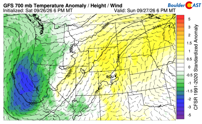
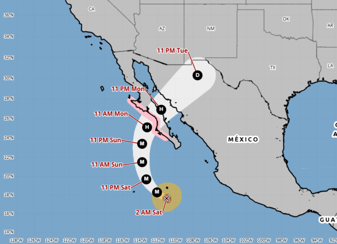
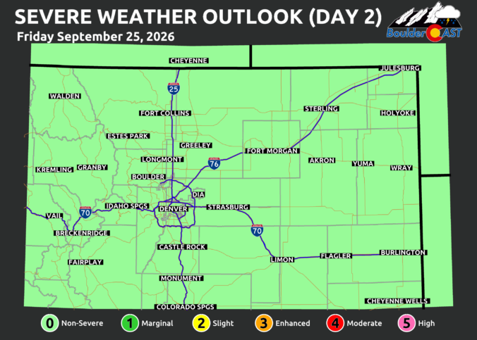
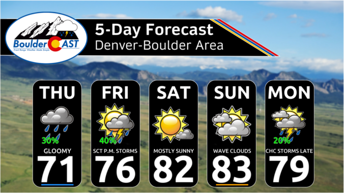
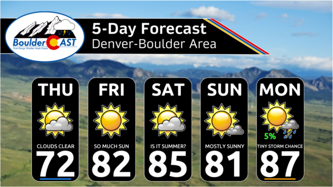
The pattern is gradually shifting across Colorado, with lingering moisture keeping Thursday cool and cloudy before drier, warmer weather settles in for the weekend. Beyond that, the forecast becomes much less certain as the first significant autumn trough approaches from the west and potentially interacts with the remnants of Hurricane Polo across the southern Rockies. There are several possible outcomes for early next week in the Front Range, ranging from a quick cooldown with some showers to a much wetter setup. We break down what the models are showing, what we’re confident in, and what remains uncertain.

Live View of Boulder

Current Conditions

Live Radar

Latest Smoke Forecast

Recent Premium Posts

This Weekend in Colorado Weather: Autumn on Hold as Warm, Dry Pattern Dominates Early October
🌧️ Southern Colorado drenched, Front Range bone‑dry: The upper‑low parked in SE Colorado …
BoulderCAST Daily – Sun 09/27/26 | A Mild Sunday, Followed by Wet Weather This Week
☀️ Mild Sunday — Highs well into the lower 80s with a few …
BoulderCAST Daily – Sat 09/26/26 | Quiet Weather, But Wet Weather Is Brewing Next Week Tied To A Tropical System
☀️ Weekend calm — Weather is quiet this weekend in the lower 80s …
3-Day Forecast

Trending Content



© 2026 Front Range Weather, LLC